This work is carried out under the research project titled "Creating Digital Heritage of Representative Architectural Marvels from Each State of North East India", PI: Dr.Shiva Ji, IIT Hyderabad, India; funded by the Department of Science and Technology, Ministry of Science and Technology, Govt. of India, under ICPS / IHDSR scheme.

Virtual Museum for Nagaland's Architectural Heritage
Project-type: Thesis Project
Duration: Dec 2023 - Apr 2024 Creating Digital
Softwares used:

Blender

Unity

Twinmotion

RealityCapture

InstantMeshes
Quick Read
I designed a VR-based Virtual Museum to digitally preserve and present the architectural heritage of the Ao Naga community from Nagaland, India. Through immersive storytelling, 3D reconstructions, and environmental context, the project brings to life traditional structures, materials, and the cultural landscape of this region. The museum blends architectural accuracy with intuitive UX to make cultural knowledge accessible and engaging for modern audiences.
Purpose behind the work
Northeast India's vernacular architecture is rapidly disappearing. Its under-documented and overshadowed by urban narratives, and eroded by modernisation.
The Ao Naga community of Nagaland has been building traditional houses with bamboo, wood, and thatch for generations, passing knowledge orally. This project exists to preserve, document, and share that architectural intelligence before it's lost.
Design Methodology
Preliminary Research
Visual Documentation
Digital Reconstruction
Environment Assembly
Virtual Reality Integration
Performance Optimisation
VR Interaction
Design
Point Cloud Generation
Topology
Optimisation
Surface Texturing
Literature Review
Site study
Community Engagement
User Interviews
Photography
Aerial Imaging
Photogrammetry
Map Creation
Model Cleanup
Asset Sourcing
Terrain Sculpting
Environment
Assembly
Research
1
User study
The user study mapped how different audiences experience culture, uncovering what each group seeks, and shaping a virtual space that resonates across backgrounds and purposes.
Students
School
College/University
User Group
Researchers
Academic
Cultural Enthusiasts
Historians
Tourists
Domestic
International
Tech Enthusiasts
AR / VR
experience seekers
General Visitors
Families
Individuals
*Users can further be divided based on user characteristics and their motivations.
Types of Users
Educational / Divulgation Path
Scientific & Systematic Tools
Average Users
Other potential users /
Remote internet users
Professional Users
User insights in their words
“I prefer something that’s easy to understand at first, but gives me more details if I want to explore further.”
“If it looks and feels real, I feel more connected... like I’m actually there.”
“I lose interest when it’s just static. I want to be able to move around or interact with things.”
“I’ve never used VR before, so I’d need it to be simple, maybe with a bit of guidance.”
“It’s important that this kind of cultural work is shown respectfully... not as entertainment, but truthfully.”
“If I’m exploring something unfamiliar, I want to be sure the information is accurate and authentic.”
2
nagaland
Nagaland's vernacular architecture is deeply rooted in ecological wisdom, yet largely undocumented and rapidly disappearing due to modernisation. A critical case for digital preservation.
Ethic Groups
15 major ethnic groups and 5 sub-communities
Climate
Monsoon climate, short summers and long winters
Biodiversity
Several number of animals. Around 492 species of birds.

NAGALAND
3
AO naga tribe
One of the major Naga tribes, predominantly found in Mokokchung.
Traditionally known for headhunting (now discontinued) and rich oral folklore.
Agriculture is the main occupation, especially terrace and jhum cultivation.
Known for vibrant crafts, log drums, and symbolic use of animal motifs
96% of the land around the settlement is covered by forest.
The area is also known for a lot of water bodies.

4
Ao Naga Architecture: Arju
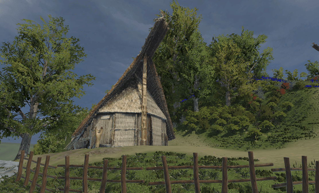
The Arju, a traditional youth dormitory of the Ao Naga, was the museum's architectural centrepiece. It held deep cultural significance, but its design also reveals a powerful story of defence and survival. As headhunters, the Ao Nagas often faced threats from rival villages, and their built forms evolved accordingly. Its sharply sloping roof, descending from peak to ground, was a deliberate defence mechanism, protecting walls from attack and resisting piercing weapons like spears through multiple layers of bamboo netting and thatch.


ideation
1
concept sketches
Early sketches explored how Ao Naga structures, natural surroundings, and user movement could come together to tell a cohesive spatial story.


2
Map creation
A fictional but research-grounded map, designed to reflect how the Ao Naga naturally settle their land. The path guides users from the spawn point through key landmarks: the Arju and the lake.

technical process
1
Model creation: Photogrammetry
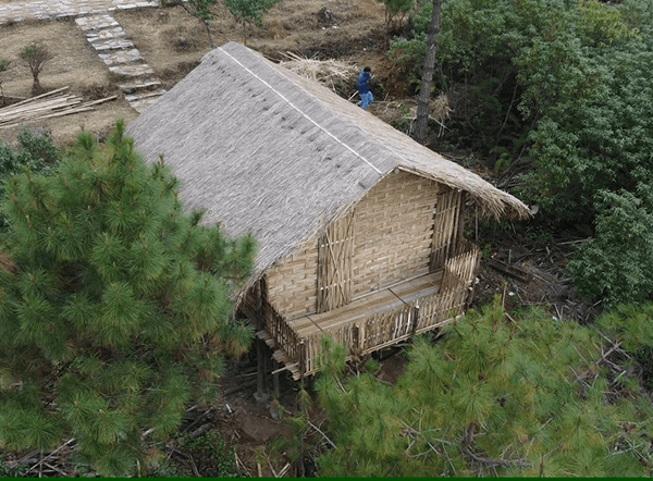
Site Capture
High-resolution images and drone footage captured from multiple angles to build a complete visual dataset of the structure.
Point Cloud Generation
Image set converted into a dense point cloud using photogrammetry tools, capturing spatial geometry and scale with high precision.

Mesh Reconstruction
Point cloud processed into a 3D mesh using RealityCapture and Instant Meshes, giving the model structural solidity and form.

Texture Mapping
Original images projected onto the mesh as textures. Noise and surface irregularities removed manually to enhance realism.

Slide
2
model refinement & cleanup
Removed ground base noise and surrounding clutter to reduce VR load. Broken mesh areas were repaired by rejoining disconnected vertices and reconstructing gaps, keeping the model clean and interaction-ready.


3
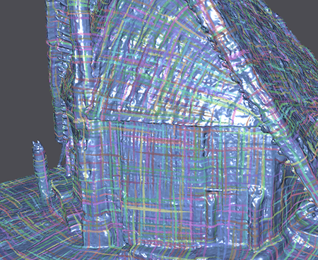
Mesh optimisation
High-density polymesh converted into a simplified quad-mesh structure, which improved topology, model performance, and VR compatibility without sacrificing structural detail.



4
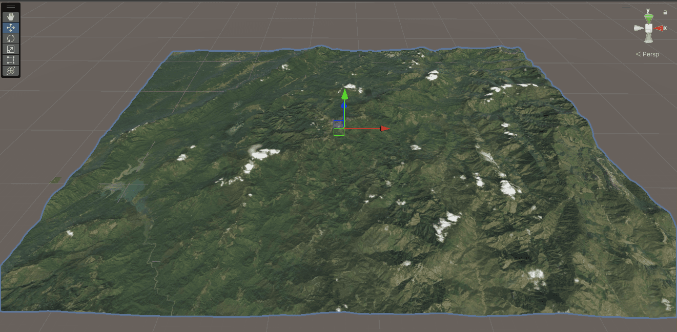
Building the virtual landscape
Terrain sculpted from GIS data to reflect actual regional topography, then refined through manual modelling. This foundation placed every architectural element and natural feature in its correct environmental context.

5
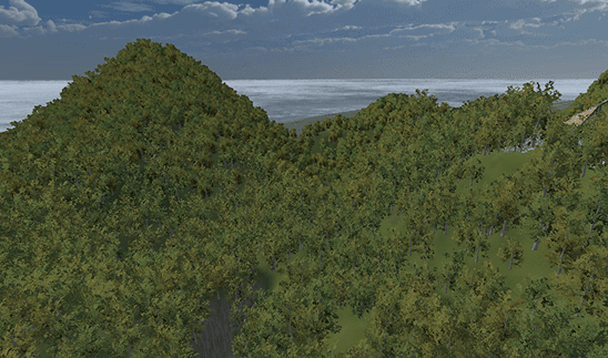
Vegetation integration
Real-life reference images from the site were used to study the native flora and terrain. Based on this, digital assets of vegetation were selected to closely reflect the actual environment.



5
Vegetation integration
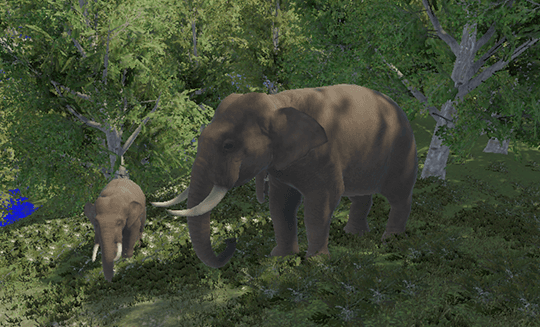
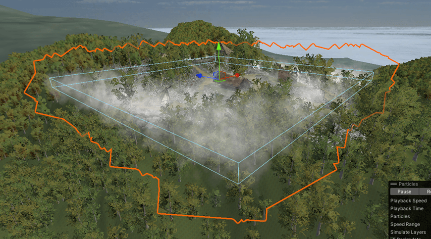
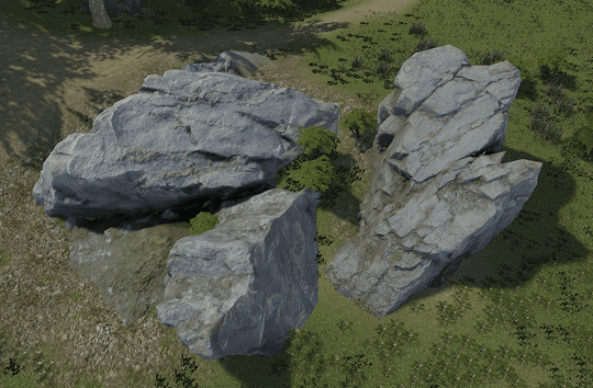
Wildlife (cows, goats, chickens, elephants, lizards, and frogs) were placed across the terrain to reflect the region's biodiversity and daily life. A fog particle system mimicked Nagaland's mist-covered winter hills for atmospheric depth. Fences, rock formations, and campfires guided navigation and enriched the space visually.




VR integration
Smooth and Comfortable Navigation
Instead of teleportation, I designed a joystick-based movement system for natural, game-like navigation that feels more intuitive and reduces motion discomfort.
Effortless Interactions
Replaced laser-pointer interactions with proximity-based triggers, allowing users to explore naturally while audio and events activate automatically.
Immersive Spatial Audio
Implemented spatial audio so environmental sounds respond to the user's position, creating a stronger sense of presence and realism.
Dynamic Time of Day
Designed multiple lighting modes (morning, evening, and night) allowing users to experience the virtual museum in different atmospheres.
The virtual museum